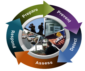
GIS Security Integration
 Security monitoring applications require the support of Geographical Information System (GIS). GIS provides the means to change the spatial and time data of the security surveillance into geographic information, in accordance with GIS map elements. The basic map in system may contain one or more special layers of security surveillance field, while the layer contains a series of elements, one element represents an entity, graphic object and an attribute record together constitute the element, and graphic object is usually constituted with basic point such as IP Cameras, security sensors, buildings or a campus.
GIS Security Integration enables:
- Collaborative planning
- Enhanced situational awareness
- Promotes better decisions
- New levels of productivity and efficiency in critical operations

